Land Use / Land Cover of Aizawl District, Mizoram
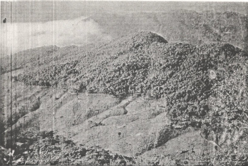
The Land Use / Land Cover (LULC) mapping of Aizawl district was undertaken to generate a systematic and spatially consistent assessment of land use patterns across the district using remote sensing and GIS techniques. The project aimed to establish a reliable geospatial baseline that would support district-level planning, environmental monitoring, and sustainable resource management in one of Mizoram’s most rapidly transforming regions. The primary objective of the project was to identify, classify, and map the major land use and land cover categories prevailing within the administrative boundary of Aizawl district. The study sought to produce standardized thematic maps and associated spatial statistics that could be readily used by line departments, planners, and researchers. Emphasis was placed on creating a uniform and replicable dataset that could also serve as a reference for future land use change studies.Satellite remote sensing data formed the core input for the analysis, supplemented by GIS-based spatial processing and interpretation. Summarized abstract of Land Use/Land Cover in the district: Built-up land: 5,062.5 ha (0.40% of total area).Agricultural land: 3,286.5 ha (0.26% of total area), primarily Kharif crops. Forest land: 1,168,485.5 ha (92.82% of total area), including evergreen and bamboo forests. Water bodies: Major rivers and streams, with ongoing dam construction for hydroelectric power.Others: Shifting cultivation (53,062.5 ha, 4.21%) and abandoned jhum/shrubs (29,112.5 ha, 2.31%)Summarized MetadataMapping Scale: 1:250,000Satellite data & Year: Landsat TM, 1989Thematic sub-category: Land Use, Land Cover Collaborating/Funding Agency: National Remote Sensing Centre (NRSC), HyderabadReport Publication Month/Year: March, 1990
Land Use / Land Cover of Lunglei and Chhimtuipui Districts, Mizoram
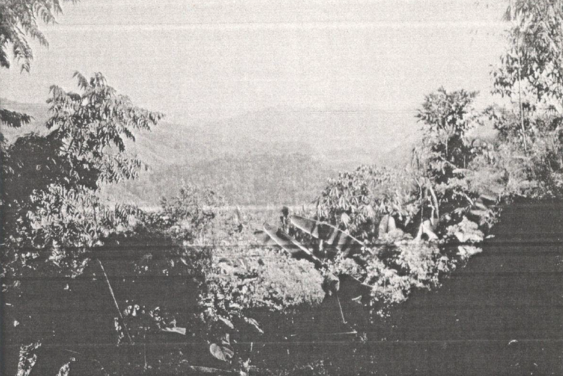
The Land Use / Land Cover assessment for the two southern study districts, namely - Lunglei and Chhimtuipui, provides a concise, map-based inventory of prevailing land cover types and their spatial distribution using remote sensing and GIS techniques. The project’s primary aim was to classify and map major land use categories within these district boundaries to produce a reliable geospatial baseline for district planning, resource management, and environmental monitoring. Satellite imagery formed the principal data source, interpreted and processed to create thematic LULC maps, area statistics, and GIS-ready datasets suitable for integration with infrastructure and hazard layers. Summarized abstract of Land Use/Land Cover in the study districts:In Lunglei district, built-up land is 1,750 ha (0.38%), agricultural land is 127 ha (0.03%), and forest land is 430,218.5 ha (94.81%). In Chhimtuipui district, built-up land is 1,062.5 ha (0.27%), agricultural land is 3,187.5 ha (0.80%), and forest land is 358,237.5 ha (90.51%). Summarized MetadataMapping Scale: 1:250,000Satellite data & Year: Landsat TM, 1989Thematic categories: Land Use, Land Cover Collaborating/Funding Agency: National Remote Sensing Centre (NRSC), HyderabadReport Publication Month/Year: March, 1990