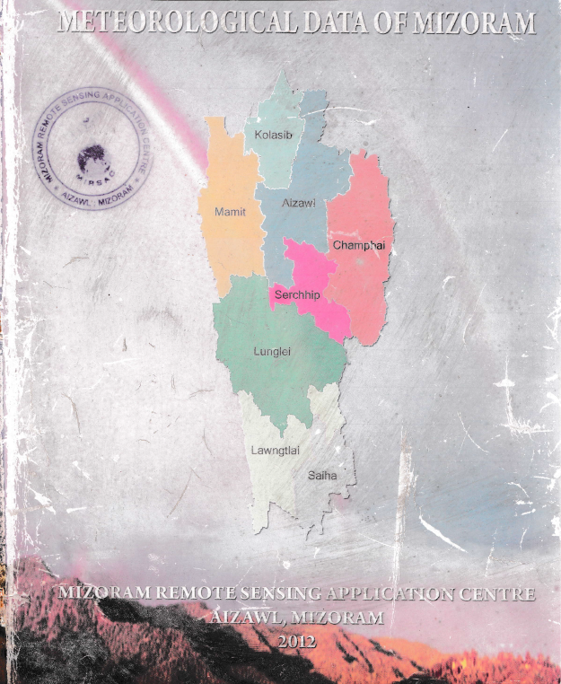
Meteorological Data of Mizoram - 2012
The “Meteorological Data of Mizoram – 2012” report represents the second-phase update of the Meteorological Data of Mizoram project undertaken by the Mizoram Remote Sensing Application Centre (MIRSAC). Building upon the original meteorological compilation published in 2009, this edition extends the available climatic database up to 2011, thereby providing a longer temporal reference for understanding the State’s rainfall, temperature and relative-humidity characteristics. The principal objective was to consolidate dispersed meteorological observations into a systematic, readily accessible database for use in Remote Sensing and GIS studies, natural-resource assessment, development planning and scientific research. Primary observations were compiled from the Department of Agriculture, Department of Economics & Statistics, BRTF–Project Pushpak and Directorate of Science & Technology, Government of Mizoram, supplemented by available meteorological information from MOSDAC and AccuWeather.The report provides district-wise information for all eight districts of Mizoram, with rainfall series extending largely from 1986 to 2011, although temporal coverage varies according to data availability. Temperature information was expanded considerably compared with the earlier edition and is presented for all eight districts, while relative-humidity observations remained more spatially limited. The database demonstrates the strongly monsoonal character of Mizoram’s climate, with rainfall concentrated primarily between May and September. At the State level, the compiled district averages indicate an annual rainfall of approximately 2,693.4 mm, with monthly averages increasing from only 9.3 mm in January to 452.4 mm in July and 460.9 mm in August, before declining after September. This pronounced seasonal concentration has important implications for agriculture, water-resource availability, erosion, landslides and infrastructure management.Temperature observations indicate a generally moderate but seasonally distinct thermal regime. The State-level monthly average mean temperature increases from about 17.5°C in January to approximately 25–26°C during May–September. Average monthly maximum temperatures reach around 33.1°C during April–May, whereas the average minimum falls to about 9.4°C in January. Considerable spatial variation is evident between the warmer lower-elevation districts and cooler elevated locations. Relative humidity likewise follows the monsoonal cycle, increasing substantially from the relatively drier winter and pre-monsoon months and remaining generally around or above 89–92% during the core monsoon months of July–September.Overall, the project established an important long-term meteorological baseline for Mizoram, while also revealing spatial and temporal gaps in the historical observation network. The resulting tables, charts and district-wise climatic summaries constitute a valuable reference for agriculture and horticulture, hydrology, forestry, environmental assessment, disaster-risk studies, infrastructure design, climate analysis and Remote Sensing/GIS modelling, and provide a foundation for continued meteorological database development and future climate-change assessments. Summarized MetadataMapping Scale: N.A Satellite data & Year: N.AThematic sub-category: Meteorology; Climate; Weather dataCollaborating/Funding Agency: Mizoram Remote Sensing Application Centre (MIRSAC)Report Publication Month/Year: May, 2012
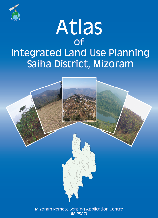
Integrated Land Use Planning of Saiha District
The “Atlas of Integrated Land Use Planning of Saiha District, Mizoram”, prepared by the Mizoram Remote Sensing Application Centre (MIRSAC), Science & Technology, Planning Department, represents a district-wide geospatial initiative designed to translate natural-resource information into practical land- and water-development strategies. The Atlas was developed in support of scientifically guided development and implementation of the New Land Use Policy (NLUP). Its principal objective was to formulate appropriate land-use options for individual villages by integrating natural-resource potential, terrain constraints, existing land utilization and infrastructure within a Remote Sensing and GIS-based planning framework.The project employed multi-resolution satellite datasets including IRS LISS-III, IRS LISS-IV, Cartosat-I and QuickBird imagery. These datasets were used to assess existing land use, terrain and slope, soil characteristics, permanent agricultural and horticultural areas, rainfall conditions, groundwater and surface-water resources, settlements and transport connectivity. The thematic information was subsequently integrated within a Geographic Information System (GIS) to identify spatially appropriate development options. A notable feature of the Atlas is its village-level approach, in which individual settlements are represented through paired map products—one showing transport networks, settlements and drainage, and the other presenting the corresponding Integrated Land Use Plan. Preparation of the Atlas also involved cooperation from the Saiha District Administration, various Government departments and Village Councils during data provision and field verification.At the district level, the planning exercise covered 1,399.90 sq. km. Proposed productive land-development interventions included 37.61 sq. km for WRC/pisciculture, 38.23 sq. km for terrace cultivation, 64.04 sq. km for agro-horticulture, 58.52 sq. km for agriculture/horticulture plantations, 137.86 sq. km for silviculture and pasture development, and 100.94 sq. km for afforestation. Collectively, these proposed development categories account for approximately 437.20 sq. km, or 31.23% of the district area.The Atlas simultaneously recognized the importance of retaining major natural and protected landscapes. Forest constituted 585.26 sq. km (41.81%), bamboo occupied 178.31 sq. km (12.74%), and Reserve Forests, plantations and departmental lands accounted for another 177.49 sq. km (12.68%). Water bodies covered 9.06 sq. km (0.65%), while built-up areas accounted for 12.58 sq. km (0.90%).Water-resource planning formed a particularly substantial component of the study. The district-wide plan proposed 1,532 water-development structures, comprising 1,094 check dams, 169 rainwater-harvesting ponds, 119 intake weirs, 20 distribution tanks and 130 irrigation channels. Overall, the Atlas demonstrates the practical application of satellite Remote Sensing, GIS and field information for micro-level, village-oriented resource planning, providing an important decision-support database for NLUP implementation, agriculture and horticulture development, soil and water conservation, forestry, watershed management, infrastructure planning and sustainable rural development in Saiha District. Summarized MetadataMapping Scale: 1:10,000 Satellite data & Year: IRS P6 LISS III, LISS IV, Cartosat I & Quickbird (2009-2010)Thematic sub-category: Land resources; Village level planningCollaborating/Funding Agency: Science & Technology, Planning Department, Government of MizoramAtlas Publication Month/Year: August, 2011
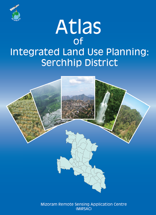
Integrated Land Use Planning of Serchhip District
The “Atlas of Integrated Land Use Planning of Serchhip District, Mizoram”, prepared by the Mizoram Remote Sensing Application Centre (MIRSAC), Science & Technology, Planning Department, represents a district-wide geospatial planning initiative aimed at translating natural-resource information into practical land- and water-development recommendations. The Atlas was prepared in the context of the State Government’s emphasis on scientifically guided development and the New Land Use Policy (NLUP). Its principal objective was to formulate suitable land-use options for individual villages by integrating terrain, natural-resource and infrastructure information using modern Remote Sensing and GIS technologies.The project utilized multi-resolution satellite datasets including IRS LISS-III, IRS LISS-IV, Cartosat-I and QuickBird imagery to assess existing land use, terrain configuration and slope, soils, permanent agricultural and horticultural areas, rainfall, groundwater and surface-water resources, transport networks and settlements. These datasets were integrated in a GIS environment to identify resource potential, physical limitations and suitable development options. The Atlas adopted a distinctly village-level planning approach, presenting paired map products comprising transport-network, settlement and drainage information alongside corresponding Integrated Land Use Planning maps.At the district level, the planning exercise covered 1,421.60 sq. km. Proposed productive land-development interventions included 16.95 sq. km for WRC/pisciculture, 57.10 sq. km for terrace cultivation, 76.17 sq. km for agro-horticulture, 61.74 sq. km for agriculture/horticulture plantations, 167.19 sq. km for silviculture and pasture development, and 149.68 sq. km for afforestation. Together, these proposed development categories account for approximately 528.83 sq. km, or 37.19% of the district.The assessment also recognized the importance of maintaining existing natural and administratively protected land resources. Forest accounted for 590.95 sq. km (41.57%), while bamboo occupied 212.09 sq. km (14.92%) and Reserve Forests, plantations and departmental lands another 71.44 sq. km (5.03%). Thus, the plan combined livelihood-oriented land development with substantial retention of forest and bamboo landscapes.Water-resource development constituted another major outcome. The district plan identified 459 proposed structures, comprising 226 check dams, 33 rainwater-harvesting ponds, 93 intake weirs, 9 distribution tanks and 98 irrigation channels. Overall, the Atlas demonstrates how satellite Remote Sensing, GIS-based multi-thematic analysis and local field information can be translated into spatially explicit village-level action plans. Its maps and planning database provide valuable decision-support inputs for NLUP implementation, agriculture and horticulture development, soil and water conservation, forestry, watershed management, infrastructure planning and sustainable rural development in Serchhip District. Summarized MetadataMapping Scale: 1:10,000 Satellite data & Year: IRS P6 LISS III, LISS IV, Cartosat I & Quickbird (2009-2010)Thematic sub-category: Land resources; Village level planningCollaborating/Funding Agency: Science & Technology, Planning Department, Government of MizoramAtlas Publication Month/Year: March, 2011
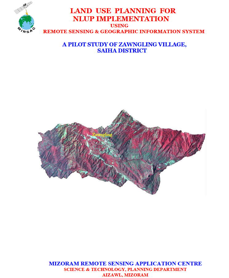
Land Use Planning for NLUP Implementation using Remote Sensing & GIS – A Pilot study of Zawngling Village, Saiha district
The project “Land Use Planning for NLUP Implementation using Remote Sensing & Geographic Information System – A Pilot Study of Zawngling Village, Saiha District”, undertaken by the Mizoram Remote Sensing Application Centre (MIRSAC) in 2010, was conceived as a micro-level scientific planning initiative to support implementation of Mizoram’s New Land Use Policy (NLUP). The study aimed to develop a viable methodology for integrating spatial and non-spatial information, prepare thematic databases on land use/land cover, soils, slope, water resources and socio-economic conditions, and formulate pragmatic land- and water-resource development plans consistent with local resource potential, community needs and government priorities.The study covered Zawngling Village in Saiha District, with a geographical area of 98.02 sq. km, situated in southern Mizoram near the Indo-Myanmar boundary. The project integrated IRS-P6 LISS-IV satellite data and Cartosat-1 stereo PAN imagery acquired in 2009, Survey of India topographic maps, departmental records, field observations and GPS-based ground verification. Image processing and enhancement were undertaken using ERDAS Imagine, while GIS integration and analysis were performed in ARC/INFO. Cartosat stereo imagery supported derivation of terrain parameters, including slope and Digital Elevation Models, while thematic information was prepared at a detailed 1:5,000 mapping scale.The analysis highlighted the strongly undulating character of the village landscape. About 46.08% of the area falls within the 50–100% slope class, while another 10.61% exceeds 100% slope, indicating substantial terrain constraints for conventional agriculture. Land-use assessment showed that forests dominate the landscape: dense forest covers 34.00 sq. km, open forest 16.80 sq. km, bamboo 8.62 sq. km, while current and abandoned shifting cultivation occupy 6.11 and 20.31 sq. km, respectively. Permanent agricultural land remains comparatively limited, with WRC and plantation areas together accounting for less than 1 sq. km. Soil investigations further indicated generally acidic conditions, with several sampled cultivation sites recording pH values around 4.0–4.5, reinforcing the need for site-specific soil-management interventions.Based on integrated GIS analysis, the project proposed 2.75 sq. km for WRC/pisciculture, 3.41 sq. km for terrace cultivation, 5.71 sq. km for agro-horticulture, 4.50 sq. km for agricultural/horticultural plantations, 10.02 sq. km for silviculture/pasture and 14.82 sq. km for afforestation, while retaining major forest and bamboo areas for conservation. Water-resource planning additionally recommended 33 check dams, 26 fish/farm ponds, 12 rainwater-harvesting ponds, 24 intake weirs, 10 distribution tanks and 14 steel gates. Overall, the study demonstrated how high-resolution Remote Sensing, GIS and field-based resource assessment can translate NLUP guidelines into spatially explicit, village-level action plans for sustainable agriculture, water management, livelihood improvement and reduction of dependence on shifting cultivation. Summarized MetadataMapping Scale: 1:5,000 Satellite data & Year: IRS P6 LISS IV (2009) & Cartosat-I (2009)Thematic sub-category: Land resources; Land Use PlanningCollaborating/Funding Agency: NIB (NLUP Implementing Board)Report Publication Month/Year: October, 2010
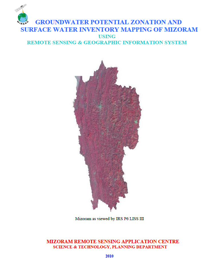
Groundwater Potential Zonation & Surface water inventory mapping of Mizoram using Remote Sensing & GIS
The project “Groundwater Potential Zonation and Surface Water Inventory Mapping of Mizoram using Remote Sensing & Geographic Information System” was undertaken by the Mizoram Remote Sensing Application Centre (MIRSAC), Science & Technology, Planning Department, with funding support from the Public Health Engineering Department (PHED), Government of Mizoram. The study was designed to provide a State-wide scientific assessment of groundwater prospects and surface-water resources to support water-supply planning in a region where rapid population growth and urbanization are increasing demand for dependable water sources. The study covered the entire 21,087 sq. km geographical area of Mizoram and all eight districts.The methodology combined IRS-P6 LISS-III satellite imagery, Survey of India topographic maps, administrative boundaries and ancillary thematic information. The LISS-III data, with 23 m spatial resolution and four spectral bands, were considered suitable for mapping at 1:50,000 scale. Groundwater potential assessment was carried out by integrating lithology, geomorphology, geological structures, slope, Digital Elevation Model information and available spring/hand-pump indicators in an ARC/INFO GIS environment. Individual thematic units were assigned relative weightages based on their hydrogeological significance, and the final groundwater potential map was classified into Very Good, Good, Moderate and Poor zones.The analysis showed that only 1,790.22 sq. km (8.49%) of Mizoram falls under the Very Good groundwater-potential category, primarily within valley fills, flood plains, low-lying terrain and structurally favourable areas. The Good zone covers 4,340.06 sq. km (20.58%), while Moderate potential accounts for 6,655.92 sq. km (31.56%). The largest proportion, 8,300.81 sq. km or 39.36%, lies within the Poor category, reflecting the dominant mountainous terrain, steep slopes and high surface runoff that restrict infiltration. Lunglei recorded the highest proportion of Very Good potential among the districts at 11.51%, whereas Aizawl recorded only 3.26%.Surface-water inventory mapping identified major rivers, streams, lakes, ponds and reservoirs directly from satellite imagery. Rivers collectively occupy about 111.6 sq. km (0.53%) of the State, while lakes, ponds and reservoirs account for approximately 22.2 sq. km (0.10%). The Serlui Reservoir, covering about 22 sq. km, was identified as the largest mapped surface-water body.Overall, the project established a comprehensive spatial baseline for Mizoram’s water resources. Its groundwater-potential maps, surface-water inventory and district-wise statistics provide valuable inputs for water-supply planning, preliminary groundwater exploration, site prioritization for detailed geophysical investigations, watershed management and long-term water-resource development. The report also appropriately cautions that potential-zone mapping should guide, rather than replace, detailed field and geophysical surveys before actual drilling or groundwater development. Summarized MetadataMapping Scale: 1:50,000 Satellite data & Year: IRS P6 LISS IV (2009) Thematic sub-category: Water resources; GroundwaterCollaborating/Funding Agency: PHED, Government of MizoramReport Publication Month/Year: October, 2010